Walk duration: 3 hour 15 minutes
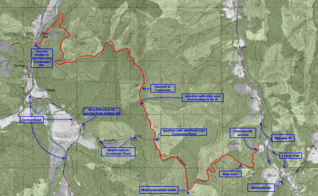
Travel time to trail head: 45 minutes (38.1 miles) Travel west on US 26 to Highway 47. Turn north towards Vernonia. Crest the summit at Tophill and proceed past the trestle, past Johnson Rd (on your left) almost all the way MacDonald road, approximately 9.2 miles from Staley’s junction on US 26. The road debouches onto county highway 47 from the left.
Elevation change: 596 ‘ in elevation change from 724′ at US 47 Trail entrance to summit at 1320 ‘ in elevation
Brief summary: This trail traverses the line of hills lying between Highway 47 (parallel to Beaver Creek) and the Timber Road (running alongside the Nehalem River).
Trail Log: You access this trail from US 47 about a half mile north of the MacDonald Road intersections. If you are connecting from the previous segment, you will turn left at the intersection of the Banks-Vernonia Trail with MacDonald Road and follow Highway 47 north for a half mile to where the dirt road branches off to the left.
Follow the road up the hill on this curvy road. There is a single residence further up the road, and occasionally there is logging in progress above Kist Creek – so you might encounter traffic. About 1/3/of mile up the road the road splits and the left hand road leads to the installation platform of a cellular tower. The straight ahead option is less well traveled, but it clearly leads to a blue gate that denotes land kept in active forestry but still accessible to pedestrians. Park your car well off the road and outside the gate – even if it is open. I almost got stuck behind the gate when they were logging in the area, but the forester was kind enough to search me out before closing the gate – no mean feat considering my off-beat routes!
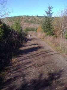 The first mile of this road (from US 47) ascends the hill in a series of switchbacks until it reaches the relatively flat plateau that stretches out over the top of this range. The road continues to ascend, but more moderately – passing through areas clear-cut some years ago but still relatively open. As it emerges onto this open plateau the passes a number of side spur roads, but you should stay on the main track until you have progressed about 1.4 miles. At that point you will come to a clear intersection where an older logging road coming in from the North (on your right) merges with the main track. The main track will continue further south, but we will follow this older forest road northwards along the side of a young conifer forest on your left.
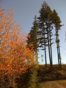
From this intersection we will follow this less traveled road northwards along the height of land for .9 miles. At the end of this segment of the hike we will be walking along the height of the ridge and beginning to look down into the clear cut upper slopes of the Kist Creek watershed on the western side of this ridge. A few tall stands of trees will mark the way as we wend out way gradually northwards. Soon after we pass a solitary stand of a half dozen tall trees the road descends to an intersection that provides a left hand turn cutting through the top of the ridge and facing the western slopes of the hill. The right hand option looks decidedly underused with moss covering the edges of the roadway, and Scotch Broom beginning to edge into the right of way.
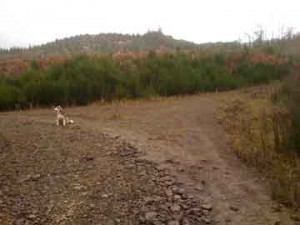
Go left at this junction!
The left hand option leads to the newer rendition of the “Peterson Road Crossover” and it emerges on Timber Road just .9 miles further down the slope. For those in search of a shorter and simpler crossing – this is the ticket!
But I have chosen a different route for two reasons. First, the shorter route requires the continuous hiker to follow the Timber Highway northwards for nearly a mile to reach the continuation of this trail system on the far side of the highway.
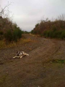
Secondly, the meandering semi-hidden route I’ve chosen is both remote and beautiful, plus it explores the length of the ridge providing the walker a greater appreciation of breadth and contours of this area. This trail system is not always about getting to the next point in the quickest manner, but sometimes it likes to meander and explore – and revel in the journey itself.
From here on, the distances indicated will be measured from this intersection, so it might be wise to check your mileage before proceeding up the “Old Peterson Crossover Road”. As I said, the option I’ve chosen is more remote and hidden, which we shall shortly discover!
As we proceed the slope to our left is clear cut, while the right hand verge of the road is planted in conifers about 10 years old and about 35 feet tall. Presently you will espy an old mile marker (on the right) indicating that we are at a distance of 4.5 miles from the entrance (on Timber Road). Actually, as I learned on my initial foray down this route, it’s not really 4.5 miles, but really only 3.5 miles because the first marker (indicating 1 mile from the gate) is located nearly at the gate.
 About 2 tenths a mile up the slope we emerge into a small clearing where the road splits. the Right hand option curves back around and proceeds in a southeasterly direction along the top of the ridge. Straight ahead the original trail heads into a copse of alders, but not before it is blocked by a low berm followed by a ditch to prevent unauthorized access by ATV, presumably. The road appears to end here, as an earth movement has caused the roadbed to slide down the slope about 5 feet. But undeterred we proceed along the lip of the slide until a rough path allows us to descend to the sunken roadbed. This we follow for about 40 feet and then follow a path ascending the far end of the slide to regain the original road bed. A little further on we cross another ditch and berm barrier to find ourselves back on a wide gravel road ascending the slope – about a quarter of a mile from the Peterson Road junction.
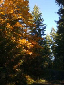
Now we follow the road uphill for about a quarter mile until we get to a triangular clearing. Here another road joins from the right. This road ascends a parallel eastward facing ridge. Continuing on past this side spur our route continues uphill at a more moderate slope, passing an overgrown spur on our left that leads into the clear cut area. Now the road gets broader and it begins to level out. Eventually almost 3/4 mile from the Peterson Rd Junction the road crests the ridge in a small clearing at an elevation of about 1320 feet.
From here the trail begins to drop and will continue to do so all the way to the gate. We’re now traversing the ridge line, and you can feel the wind blowing up the eastward slope. There’s a bit more cover on the west side with trees planted around 1989. The last time I was on this road the fog as blowing across the ridge top obscuring the light and making it almost feel like dusk. Eventually we enter an area with older trees, probably about 35 years old, with salal lining the road. One mile from the Peterson Junction the road dips and begins to rise as it enters a three way intersection. 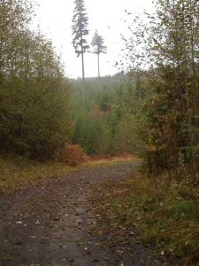 On our left a small road descends the western slope and on the right a road climbs up the slope. We will proceed straight taking the middle option that is level and then descends gently as it skirts slightly to the left around the higher ground on the right. A little further a road descends to join our track from the right. We continue heading north and slightly downhill.
About 1.3 miles from the Peterson Junction, our route emerges at the top of a wide clearcut that gives us a clear view into the Nehalem valley and the mountains to the west. We will traverse the slopes that weave in and out of the folded slope eventually reentering the forest on the northern side.
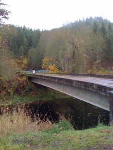 At 1.7 miles from the Peterson Junction we enter into a long straight downhill stretch. On the right amidst younger conifer growth the 2.5 mile market is visible. At the bottom of this slope we encounter another side spur leading off to the left. We proceed on down going around a sharp bend about 2.34 miles from the Peterson Junction before continuing northwards. Eventually at 3.12 miles from the Peterson Junction we turn back to head south paralleling the Nehalem River to reach the bridge that marks the end of the trail.
Immediately across from the bridge is the beginning of the trail that will lead us all the way to Camp McGregor.

