Distance: 4 miles
Walk duration: 2 hours
Travel time to trail head: 1 hour 10 minutes (49 miles) to E. Knott St., Vernonia
Elevation change: Vernonia lake is at 640 ‘ in elevation, the top of the ridge is at 1115′ and the Elk Creek entrance is at 650’ in elevation. Total change in elevation is 465 feet.
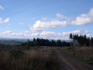
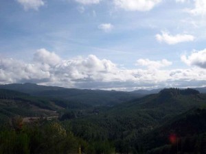
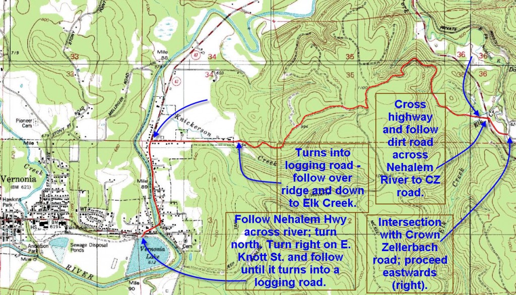
Brief summary: This segment of the trail crossed a long spur that separates Vernonia from the East Fork of the Nehalem River. The hike is basically a climb of 465 feet up and over the ridge. There are nice views looking North to Bunker Hill and the ridge that separates the Nehalem Watershed from the Clatskanie River which flows into the Columbia.
The best access point on the Vernonia side is to park at the east end of East Knott St. where the road ends and the logging road begins. At the East end, you can park in a wide pull out area at the Elk Creek entrance to the trail.
Trail Log: (from Vernonia)
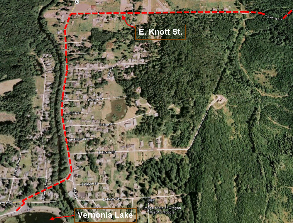
As indicated above, the best way to approach this trail from the west is to avoid walking the short stretch from Vernonia Lake, across the bridge and up along the highway to E. Knott Street. But in case you want to complete the connection with the Banks Vernonia trail I have attached a detailed map that shows the route through the east park of town to the begining of the Elk Creek logging road.
At the end of E. Knott street, about 1.4 miles from Vernonia Lake, the trail begins to ascend quite rapidly. Over the first .6 miles the trail climbs from 653′ to 1021′, or a total climb of 368′ in elevation.  This brings you to the first of two logging road spurs that veer off on your left heading north along the ridge. At this point the climb flattens out a bit and you soon pass the second spur road on the left. Shortly thereafter (1 mile from the end of E. Knott st.) you will encounter a “Y” intersection. Take the left hand option which doubles back and heads up to the spine of the ridge (.02 miles from the “Y”). At the summit, you will see another spur road heading north along the ridge line.
  But we will cross the crest and begin the rapid descent to elk Creek on the east side of the ridge. From the summit (1115′ elevation) to Elk Creek (650′ elevation) the road hugs the hillside twisting northwards and then eastwards for 1.2 miles as it passes through middle aged conifer stands. To the north there are views of vast expanses of woodlands reaching all the way to the banks of the Columbia River.


