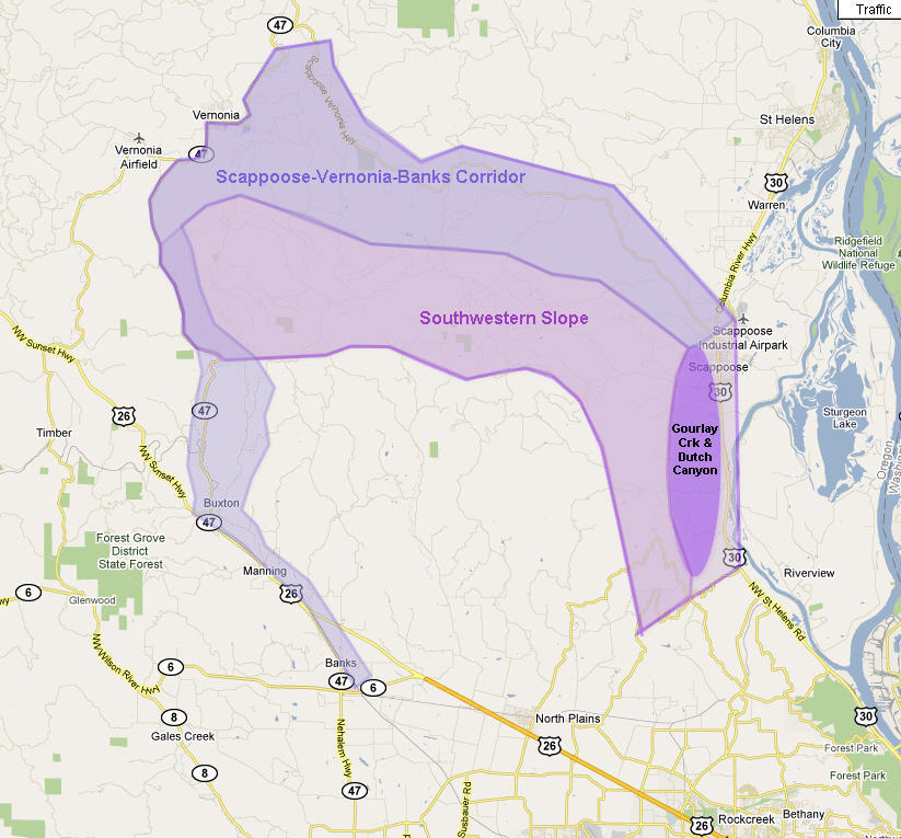
 The Lower Columbia Corridor is the first segment through which my surveyed hiking trail connecting Forest Park to the Coast must pass. It begins at Rocky Point Road that connects the northern terminus of Skyline Boulevard with Highway US 30 – about 2 miles south of Scappoose. All the trails south of Rocky Point road have already been described in my book, Portland Forest Hikes, published by Timber Press in 2007.
This group of trails comprise a series of hikes that have been, or are being improved to serve as linear trails linking Vernonia to Scappoose alongside the Columbia River, and to Banks, at the western end of the Tualatin Valley. Vernonia-Banks trail is completely paved and has been a favorite for bicyclists and walkers for some time, but the Vernonia to Scappoose leg is still a series of unimproved old logging roads with an occasional wash-out that requires traversing. For more detail consider the descriptions of the various trail segments for each of the two routes in this grouping of trails.
In this subsection I have presented the following trails:
- Banks to Manning linear trail
- Buxton to Stub Stewart State Park linear trail
- Stub Stewart State Park to Braun linear trail
- Braun to Vernonia Lake linear trail
- Vernonia Lake to Elk Creek linear trail
- Elk Creek to Hawkins Road linear trail
- Hawkins Road to Summit linear trail
- Summit to Spitzenberg junction linear trail
- Spitzenberg junction to Scappoose linear trail
