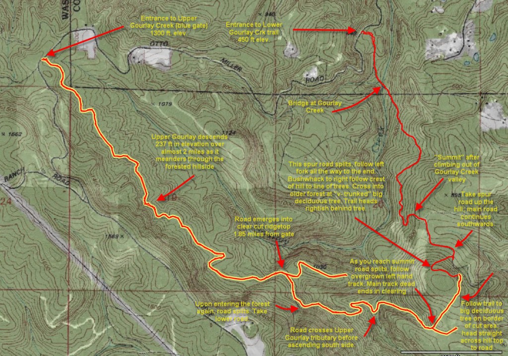
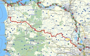
 Brief summary: This walk follows a remote little used logging road into the upper reaches of the Gourlay Creek watershed. This logging road is a solitary upper branch of the logging road network. It connects with the following trail and/or “loop” route I have mapped via a bushwhack described below:
* Gourlay Creek Grade line road
Distance: 3. 92 miles one way; 7.85 miles round trip
Walk duration: 4 hours 30 minutes
Travel time to trail head: 45 minutes
Driving directions to the trail head: From downtown Portland drive north on US 30 to Scappoose. Turn left opposite the gas station on Bonneville Drive and then an immediate right on to Old Portland Road that parallels US 30 passing behind Scappoose. Turn left on Dutch Canyon Road, and follow this gradually west entering into the South Scappoose Creek valley. Follow this road all the way back to the bridge near the very end of the Dutch Canyon Road. Cross the bridge and immediately after the pavement ends. Follow this dirt road upwards for just over 2.8 miles (passing a clearing with two homes) and pull off and park at the blue gate on the left hand side of the road.
Elevation change: highest elevation 1300 feet; lowest 699 feet crossing Gourlay Creek
Conditions: graveled logging roads, some portions with rougher grade stone, but dry and hard all the way. Walkable in all weather.
Trail directions:
The Upper Gourlay trail is a remote beauty! Located near the top of the Gourlay Creek Watershed this logging road is the last of the blue gates on the left (if you’re ascending from Dutch Canyon as suggested by the directions). If instead, you drive in from the ridge top coming by way of Dixie Mountain (.9 miles from the Smoke Ranch turnoff), this will be the first “blue gate” you’ll see that has much “walking” potential. The gates located on the winding section of road leading down from the Smoke ranch turnoff are mostly short roads that end almost within sight of the gate. This gate located where the road begins to flatten out as it reaches the highest plateau in the watershed. Further down and located on the same plateau is the entrance to the Barrow Trail heading north.
The beginning of this trail is a trudge…
After a few shallow turns at the beginning of this trail the rocky logging road disappears under the canopy of some 40 year old Big leaf maples, and Douglas Firs. trees – heading south. First two miles are an undistinguished trudge through an older mixed conifer and deciduous tree canopy – shady in summer and wet in winter. The diameter rock used on this portion of the road is rather large and a bit difficult to 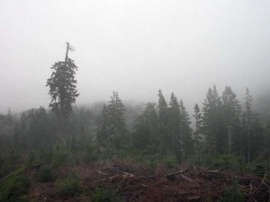 walk on, especially for dogs. Since the road traverses a slope water accumulates alongside the road. But thanks to the rock base of the road the road itself is reasonably dry. For nearly two miles the road heads south dropping from an elevation of 1300 to about 1050. Initially I turned back after a mile or so, and it wasn’t until nearly two years later that I finally explored this route to its end – and what a surprise I got!
After 2 miles the road turns slightly to the East and emerges on a logged hillside on the upper slopes of the Gourlay Creek Watershed. This is a remote section of the watershed since the “mainline” road doesn’t offer any connections to this upper route.
I explored this route on a stormy 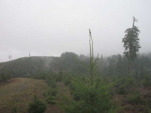 day and was entranced with the wild beauty of the place. These pictures were taken near the transition in the trail at the 2 mile point – looking out into the seldom visited upper slopes of the Gourlay Creek watershed. At the 2 mile point the road splits and the left hand fork curves off to the east and dead-end on a point overlooking Gourlay creek that winds its way south below this 10 year old clear cut. The second picture (above) depicts the remote quality at the end of this ridge. If you decide to walk out to the end of this point, it’s about .4 miles – one way.
But to proceed further we will ta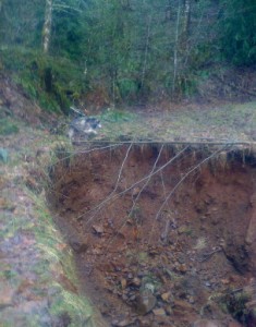 ke the right-hand fork that traverses the upper slopes heading south. Just beyond the tree line where this road leaves the clear cut, you will encounter a split in the road. The upper route dead-ends in a few yards. The lower route crosses the creek that cascades down (feeding Gourlay Creek below), but not before it has collapsed a major portion of the roadway. There’s enough room to walk by, but I don’t recommend walking right along the edge…
For the next half mile the trail drops relatively steeply from 1024 ft. in elevation at the collapsed portion down to 699 ft in elevation where it crosses Gourlay Creek. By now you’re sunk deep into the folds of the Gourlay Creek watershed. I have actually bushwhacked my way out of this remote canyon down to the “mainline” road, but that was both strenuous and very difficult – if not, a bit dangerous if you’re on your own. It’s prudent to keep in 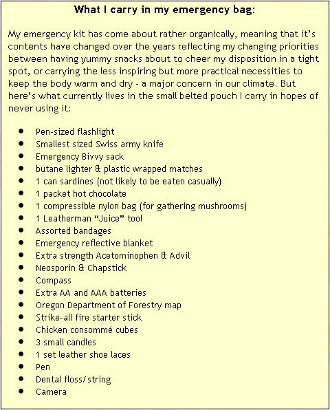 mind that if you were to break a leg or otherwise sustain an injury that precluded you from getting out of this steep and overgrown ravine – it could take days before rescuers would be able to get into this area deep enough to hear your (by then) feeble calls for help. Because I do most of my exploration alone, I carry adequate emergency gear to sustain me for a couple of days. Even better, hike with a friend, but keep you voices low if you want to spot game.

