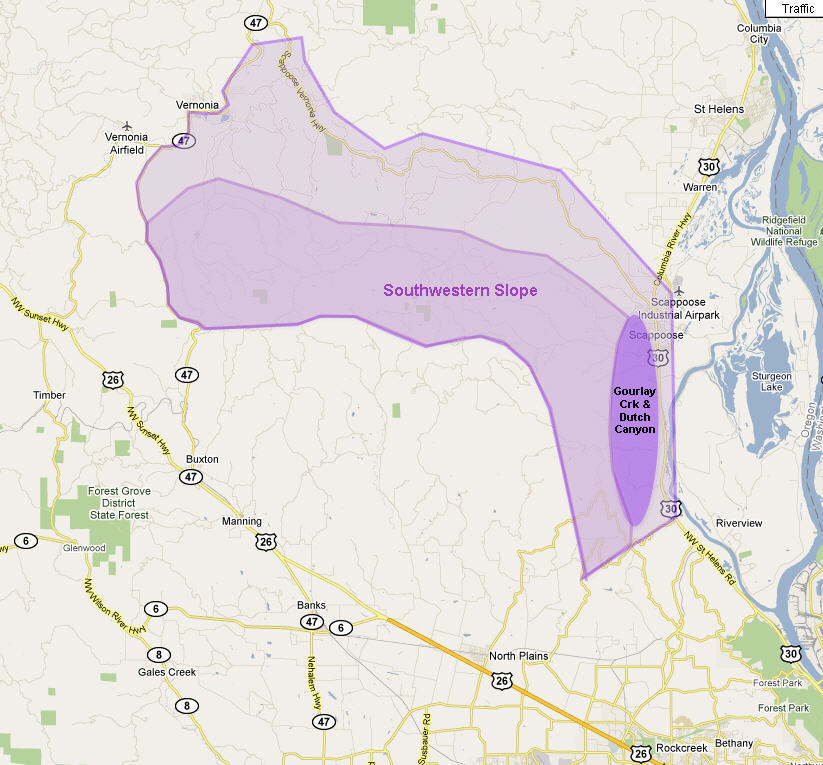
 The Lower Columbia Corridor is the first segment through which my surveyed hiking trail connecting Forest Park to the Coast must pass. It begins at Rocky Point Road that connects the northern terminus of Skyline Boulevard with Highway US 30 – about 2 miles south of Scappoose. All the trails south of Rocky Point road have already been described in my book, Portland Forest Hikes, published by Timber Press in 2007.
At the southern end of this corridor and mostly located on the south-western flank of the hills are a series of trails that encompass much of the forested uplands above McKay Creek, Dairy Creek and Rock Creek, to name only the most prominent creeks that drain this slope and flow into the Tualatin River. This area is bounded at lower elevations, and sometimes at the higher elevations by private properties through which no passage is sanctioned. This practically speaking is the “corner” that any trail headed to the coast must navigate around, because finding a shorter route through this area at a lower elevation will require detailed negotiations with landowners for access easement – not an impossible task, but certainly beyond the means and aims of this solitary walker. I will leave that to my friends in the land conservancy movements and to Metro.
In this subsection I have presented the following trails:
* Rye Hill Loop
* Pottratz Road Loop
* Rim Road & Panther Creek
* Jackson Creek West Slope
* Bacona Road
