Distance: 3 miles (one way)
Walk duration: 1 hours 10 minutes (one way)
Travel time to trail head: 37 minutes (31.6 miles)
Elevation change: Trails drops 183 ft in elevation from Trestle to McDonald Rd (Braun)
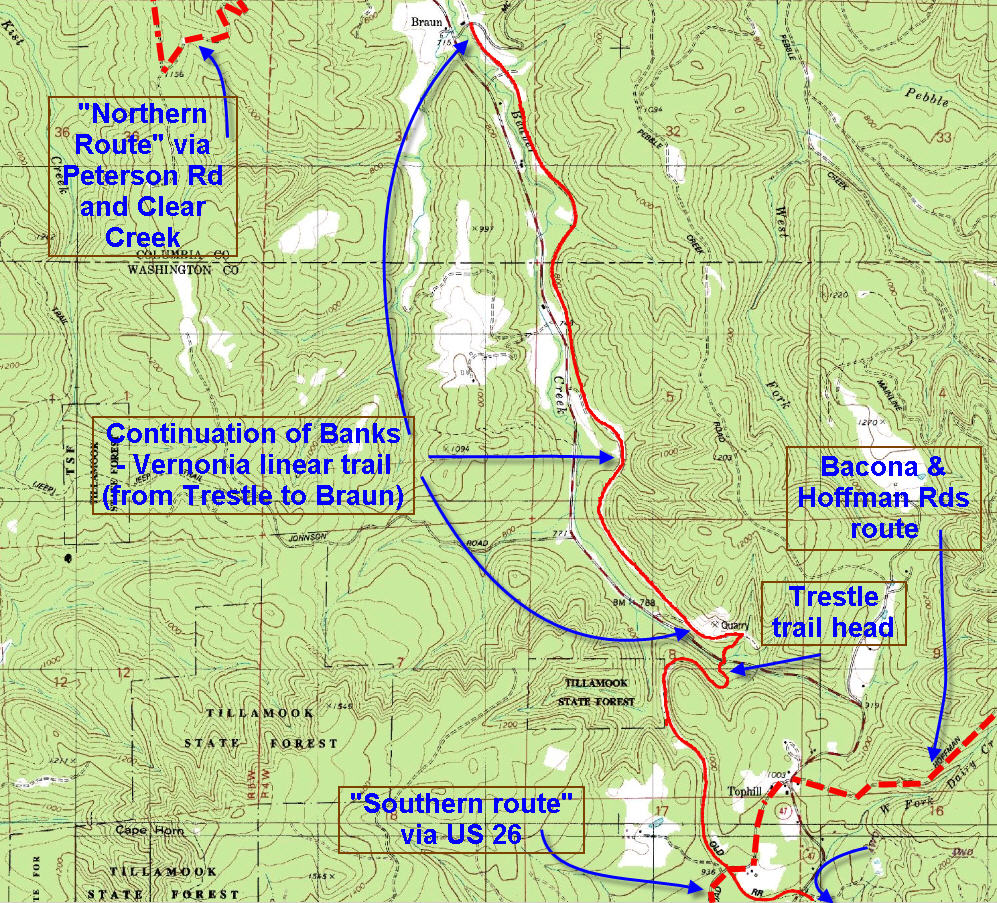
Brief summary: Relatively smooth and straight trail along a hillside, parts paved, but mostly fine gravel. Goes through coniferous forest with views of Route 47 occasionally. This trail segment ends at McDonald Road in the hamlet of Braun. Next segment continues on north side of MacDonald Rd.
Trail Log: This segment of the Vernonia to banks Trail begins at the parking lot located below (and north of) the trestle on Route 47. You can park your car at this trail head, but you will need to cross Route 47 to pick up the trail as it ascends the east side of the valley from an elevation of 797 ft at the parking lot to 896 ft where the access trail meets the original railroad grade. 
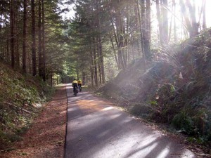
Once you have climbed to 100 feet in elevation t the old RR track bed the tough part is behind you. Now it’s a straight shot all the way to McDonald road in Braun – a three mile hike with a well maintained trail (gravel mostly, but also some stretches of macadam). This portion of the trail is ideal for easy bicycling.
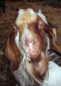
Along the way you will pass by a farm raising “silly” goats that are very curious about strangers. This goat was trying to tell me that any sort of edible handout would be most welcome…
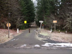
 Although this segment ends at the McDonald Road, the trail actually continues all the way to Vernonia. The next segment is called “Braun to Vernonia”. See picture alongside of the McDonald crossing on a cold December morning.

