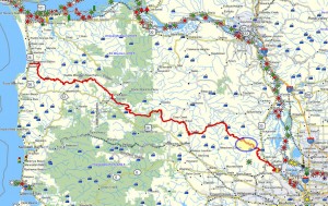
 Brief summary: This walk follows a remote little used logging road into the lower parts of the Gourlay Creek watershed. This area is not currently being actively logged, but there are some local paths leading down into the Bankston Rd. area which has 3 homes scattered through the lowest portions of the forest. This route stays above the private residence.
 Distance: 3.6 miles round trip
Walk duration: 2 hours 0 minutes
Travel time to trail head: 45 minutes
Driving directions to the trailhead: From downtown Portland drive north on US 30 to Scappoose. Turn left opposite the gas station on Bonneville Drive and then an immediate right on to Old Portland Road that parallels US 30 passing behind Scappoose. Turn left on Dutch Canyon Road, and follow this gradually west entering into the South Scappoose Creek valley. Follow this road all the way back to the bridge near the very end of the Dutch Canyon Road. Cross the bridge and immediately after the pavement ends. Follow this dirt road upwards for .43 miles and pull off and park at the blue gate on the left hand side of the road.
Elevation change: highest elevation 880 feet; lowest 369 feet crossing Gourlay Creek
Conditions: graveled logging roads, some portions with rougher grade stone, but dry and hard all the way. Walkable in all weather.
Trail directions:
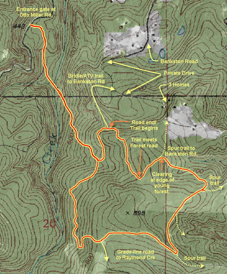
This trail uses the “Grade line road” (main logging road) from it’s start at the blue gate on Otto Miller Road, over the Gourlay Creek bridge and most of the way up the steep hill located to the south of Gourlay Creek. From gate at Otto Miller road to the Gourlay Creek bridge is .4 miles – mostly downhill. From the bridge to the spur road that 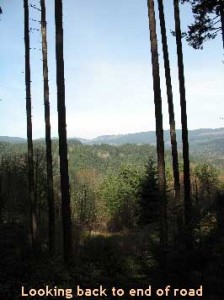 marks the divergence of the Lower Gourlay Creek Loop from the Grade line road is about .75 miles from the bridge. On a cumulative basis the turnoff is 1.1 miles from the gate on Otto Miller Road.
After ascending the steep grade climbing out of the Gourlay Creek gully, one arrives somewhat winded at the intersection where our left hand spur diverges from the Grade line road. The spur road heads straight up the hill and doubles back around a beautiful ridge of tall firs. Just past the first bend the trial comes to an end (1.75 miles from the gate).
A bridle trail (look for hoof prints) extends northwards along a level ridge; this is the beginning of the path down to Bankston road. This northerly trail extends along the ridge for about .15 miles (cumulative 1.9 miles from gate) before the ridge ends and the trail turns and doubles back, descending along the right flank of the ridge. The trail 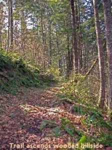 trail drops down into a small valley and crosses a minor stream. Shortly thereafter the trail emerges on to the Bankston road. From the beginning of the bridle trail (at the end of the road) to the Bankston road is about .45 miles, or a .9 miles circuit to and from.
According to one of the neighbors that I encountered (Tim Brooks, his son and a black terrier), there are three families that live in the upper Bankston meadows which are just below the timber stands that I will explore.
Our designated route however, leads uphill into the copse of tall firs. A small but clearly visible trail can be discerned leading up in a southeasterly direction. The photo to the right shows the view looking back down to the road that ended just below the tall firs.
This trail ascends a wooded hillside as shown in the next photo.
Near the top of 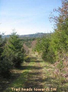 the slope the trail emerges on to an older forest road that cuts diagonally across the top of the slope. Just beyond the road is a forest of younger trees that cover the far side of the hillock. We will follow this road to the left and proceed in a Northeasterly direction. This road will shortly dip before arriving at another intersection with the left hand option leading down
 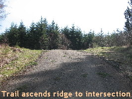 the ridge line presumable heading towards the distant Bankston road. We will take the right hand option that leads into the younger forest and the Southeasterly side of the hill. This logging road leads though a young forest with trees not much taller than 10-15 feet – see photo to the right. Initially the direction of the track is southeasterly, but after a quarter mile it turn and proceeds in a southwesterly direction. On this leg of the walk you will encounter two subsidiary roads joining the main track from the left. But our path should lead us for .4 miles in a southwesterly direction.After passing a second spur
 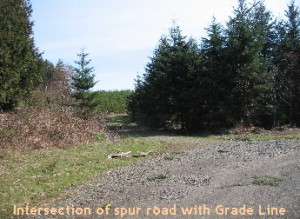 trail heading off to the left, the main track will bend leftwards and ascend a ridge where it intersects with a larger and more traveled road (see photo on the left). We will turn to the right and follow this well graveled road for .4 miles where it connects with the Grade-line road.
The intersection with the Grade-line roads occurs at the “summit” of the steep climb 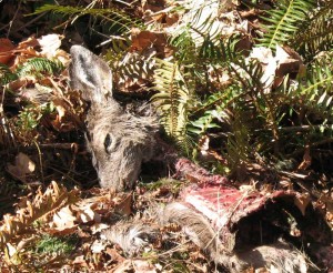 out of the Gourlay Creek ravine. From here our route descends the grade-line road (turn right) back towards Gourlay Creek.
This main logging road sees a lot of traffic when wood from an active logging area is being extracted. If you’re on any of these roads during the week day, be particularly careful as the log truck drivers drive as if they own the road – which they do. People are not the only creatures at 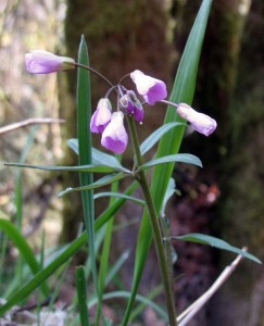 risk from the hurtling mass of a fully loaded log truck. On the main grade-line road, I saw evidence of a log truck and deer collision that went rather badly for the deer. Whatever damage was done was quickly “dressed” and removed for dinner with the hooves and heads tossed into the bushes – much to Loki’s delight and my disgust.
From the intersection with the Grade-line road, we will descend xx feet in elevation and cover .6 miles to complete the circuit reach the spur we originally used on our way up the hill. From that intersection it’s another 2/3 mile back to the gate.
If you walk this loop in the early spring you’re likely to spot lots of Grass Widows (Olsynium douglasii) aka “satin flowers”. This perennial prefers the rocky vernal-wet places that dry hard later in the spring. Colors range from magenta to white and all shades of pink. It grows in erect clumps of grass-like leaves and round flower stems. Note the two leaf-like bracts at the base of the flower. One of these is longer than the flower stem, while the other is shorter.
